In the rapidly evolving landscape of urban planning, understanding the underground realm has become increasingly critical. Subsurface utility mapping provides essential information that aids in efficient planning and resource allocation. This article delves into the importance of subsurface utility solutions, the methods used in mapping, technological advancements, the challenges faced, and the future of these solutions in urban settings.
Understanding the importance of subsurface utility mapping in urban planning
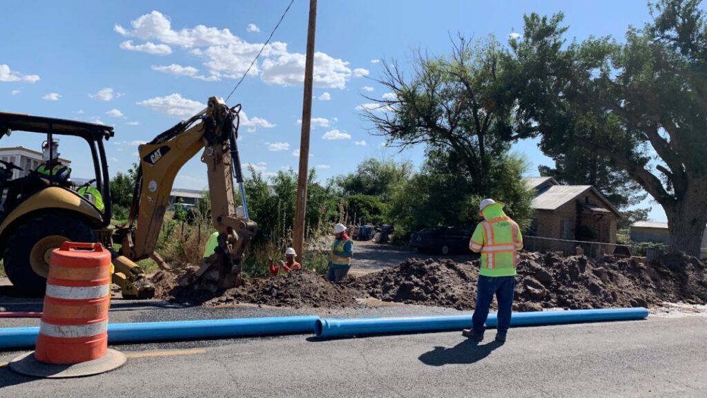
Urban environments are bustling with life above ground, but the true complexity often lies beneath the surface. Subsurface utility mapping allows urban planners and engineers to visualise and understand the network of utilities that operate below ground. This is vital for making informed decisions that can significantly affect the sustainability and development of urban areas.
Defining subsurface utility solutions
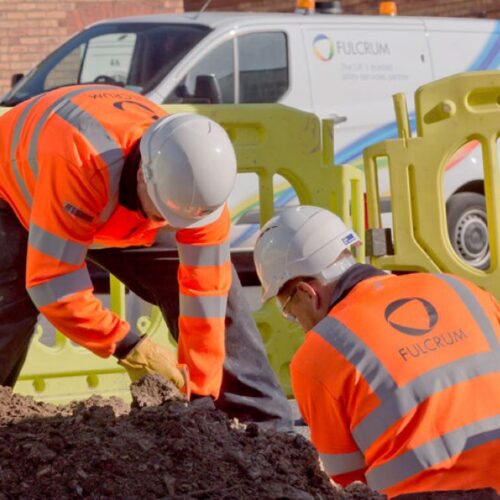
Subsurface utility solutions encompass a range of techniques designed to identify and map the location of buried infrastructure. This includes water, gas, electrical, communication lines, and sewer systems. By utilising these solutions, cities can prevent costly damage to utilities and ensure safety compliance during construction and maintenance projects.
The role of subsurface mapping in urban planning
Subsurface mapping plays an indispensable role in urban planning by providing a clear picture of existing utilities before any excavation work begins. This foresight can lead to significant time and cost savings, reducing the likelihood of encountering unexpected underground features. Planners are then equipped with the necessary data to design projects that are both efficient and safe.
Moreover, the integration of advanced technologies such as Ground Penetrating Radar (GPR) and Geographic Information Systems (GIS) has revolutionised the field of subsurface utility mapping. These technologies not only enhance the accuracy of mapping but also allow for the visualisation of complex utility networks in a three-dimensional context. As urban areas continue to expand, the ability to effectively manage and coordinate subsurface utilities becomes increasingly crucial, ensuring that infrastructure development aligns with the overarching goals of urban sustainability and resilience.
In addition to aiding in construction projects, subsurface utility mapping also plays a significant role in emergency response planning. Understanding the layout of utilities can be critical during crises, such as natural disasters or infrastructure failures, where quick access to information can save lives and resources. By having a comprehensive map of subsurface utilities, emergency services can navigate urban landscapes more effectively, ensuring a swift and coordinated response to any incidents that may arise.
The process of comprehensive subsurface utility mapping
The journey to effective subsurface utility mapping begins with rigorous data collection and analysis, establishing a reliable foundation for all subsequent decisions.
Initial data collection for subsurface mapping
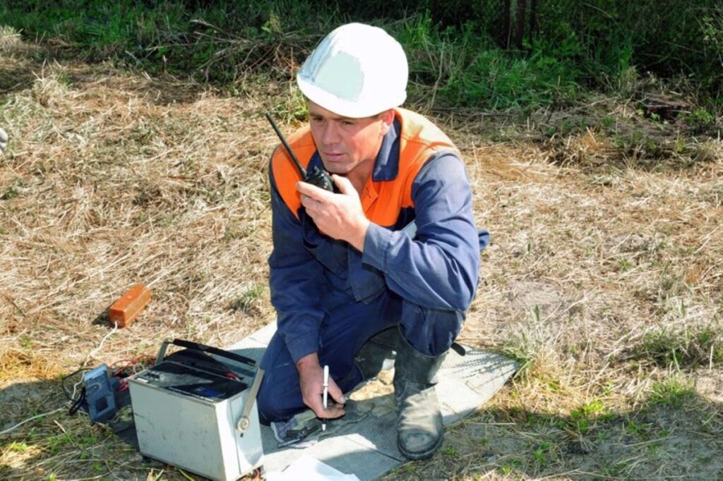
The initial phase involves gathering data from various sources, including historical records, previous surveys, and utility companies. However, relying solely on existing data can often be insufficient, as inaccuracies may exist. Therefore, direct measurements through ground-penetrating radar (GPR) and electromagnetic induction can substantiate these findings. In addition to these methods, the use of utility locators and visual inspections can further enhance the accuracy of the data collected. Engaging with local authorities and utility providers can also yield valuable insights, as they may possess unpublished records or anecdotal evidence that can inform the mapping process.
Interpreting and analysing subsurface data
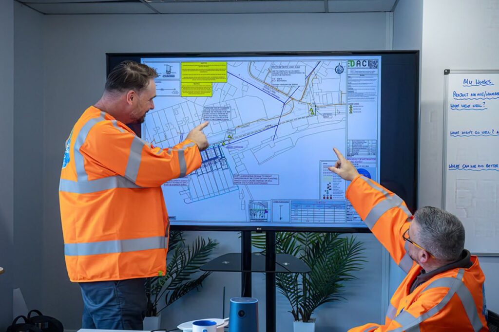
Once data is collected, the real work begins. Engineers and planners must interpret the information to create accurate and actionable maps. This stage involves distinguishing between different types of utilities and determining their depths and conditions. Modern software helps facilitate this process, enabling the creation of detailed 2D and 3D representations of subsurface utilities. The integration of Geographic Information Systems (GIS) technology plays a crucial role in this phase, allowing for the layering of various data sets and providing a comprehensive view of the subsurface environment. Moreover, the interpretation process often requires collaboration among multidisciplinary teams, including civil engineers, geologists, and environmental scientists, to ensure that all potential risks are identified and addressed appropriately. This collaborative approach not only enhances the accuracy of the mapping but also promotes a more holistic understanding of the subsurface landscape, which is essential for effective project planning and execution.
Technological advancements in subsurface utility mapping
In recent years, the field of subsurface utility mapping has witnessed groundbreaking technological advancements that have revolutionised how we approach mapping.
Innovations in subsurface detection technology
Technologies such as radar and sonar have made significant strides. Multi-frequency GPR now allows for more precise scans, even in challenging soil conditions. Additionally, advances in drone technology are permitting aerial surveys that can complement traditional mapping methods, enhancing overall data collection capabilities.
The impact of digitalisation on subsurface mapping
Digitalisation has transformed subsurface utility mapping, making data more accessible and manageable. The utilisation of Geographic Information Systems (GIS) allows planners to overlay various layers of data, providing a comprehensive view of the underground landscape. This integration streamlines the planning process and encourages collaborative decision-making among stakeholders.
Challenges and solutions in subsurface utility mapping
While the benefits of subsurface mapping are clear, the process is not without its challenges. Understanding these obstacles is essential for developing effective solutions.
Common obstacles in comprehensive mapping
One of the primary hurdles is the lack of accurate historical data. Many cities struggle with incomplete or outdated records of their underground utilities, which can lead to hazardous situations during excavations. Additionally, the presence of densely packed utilities complicates the ability to navigate and map accurately.
Effective strategies for overcoming mapping challenges
To mitigate these challenges, collaboration between utility companies and urban planners is crucial. Establishing standardised protocols for data sharing and mapping can lead to better accuracy. Furthermore, investing in training for personnel on the latest technology and methods ensures a more competent workforce capable of tackling these issues head-on.

The future of subsurface utility solutions in urban planning
Looking ahead, subsurface utility solutions will undoubtedly continue to evolve alongside urban planning demands.
Predicted trends in subsurface utility mapping
With the rise of smart city initiatives, predictive modelling using AI and machine learning is anticipated to become a key focus. These technologies could revolutionise how we approach subsurface mapping, allowing for real-time data collection and analysis, leading to proactive rather than reactive urban planning. Learn more about technologies used for surface utility locating for better outcome.
The potential impact of future developments on urban planning
As urban areas continue to densify, having an accurate understanding of subsurface utilities will be more vital than ever. Enhanced subsurface utility solutions will not only promote safer construction but will also facilitate the integration of greener technologies, ensuring sustainability in urban development.
In conclusion, comprehensive subsurface utility mapping is of paramount importance in urban planning. As technology advances and challenges are addressed, the future looks promising for urban planners who are keen to utilise these solutions for safer, smarter cities.